


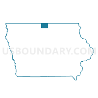
LELAND Voting District, Winnebago County, Iowa
About
Outline

Summary
| Unique Area Identifier | 583723 |
| Name | LELAND Voting District |
| County | Winnebago County |
| State | Iowa |
| Area (square miles) | 1.36 |
| Land Area (square miles) | 1.33 |
| Water Area (square miles) | 0.03 |
| % of Land Area | 97.68 |
| % of Water Area | 2.32 |
| Latitude of the Internal Point | 43.33375220 |
| Longtitude of the Internal Point | -93.63189720 |
Maps


Graphs
Select a template below for downloading or customizing gragh for LELAND Voting District, Winnebago County, Iowa


Neighbors
Neighoring Voting District (by Name) Neighboring Voting District on the Map
- FOREST TWP PART W/O FOREST CITY & LELAND Voting District, Winnebago County, IA
- NEWTON TWP Voting District, Winnebago County, IA